Since February 2, thirty days ago, Lina and I have been changing beds – and countries, cities or islands here in the Philippines – every two days. Our off days, like the one just described in “Guimaras,” are a pleasure, a chance to relax and see something new.
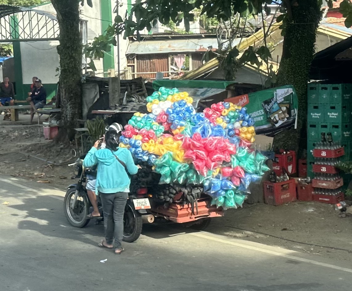
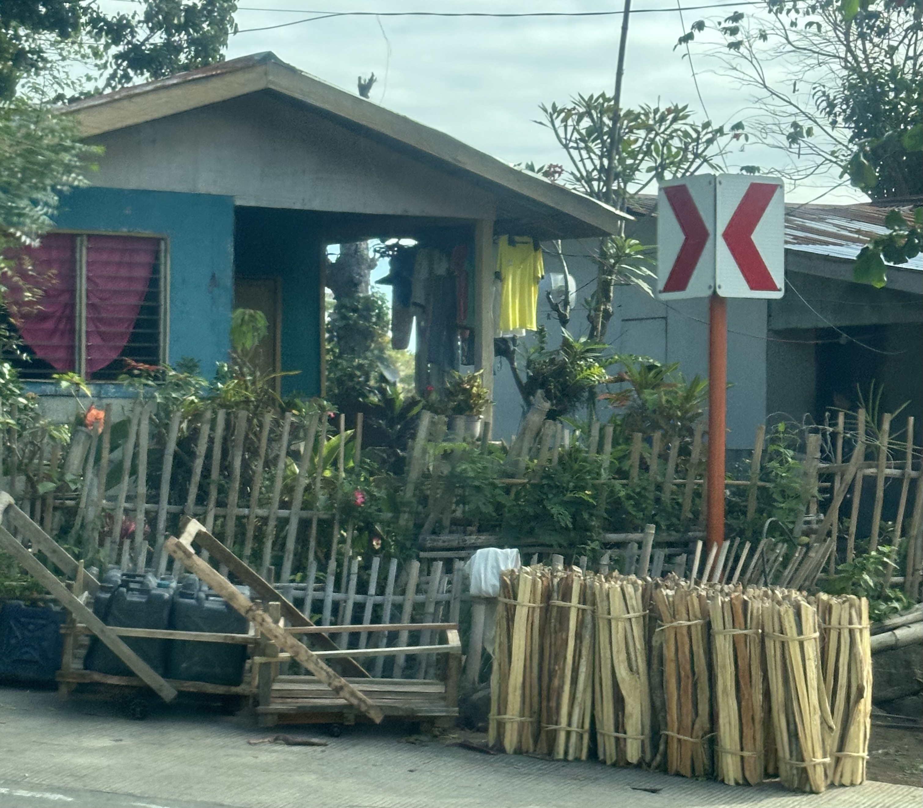
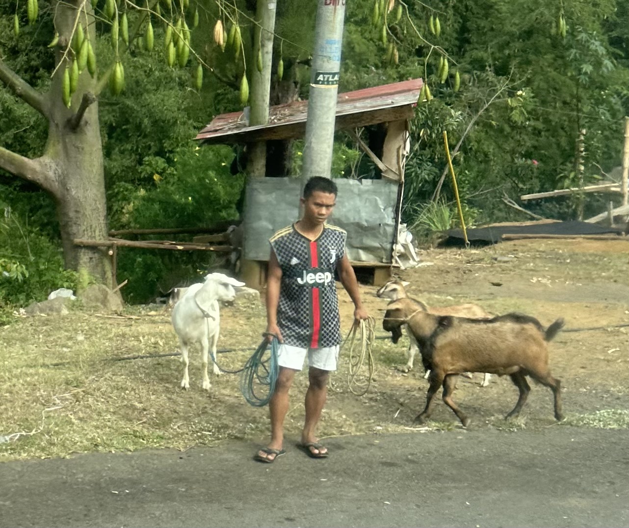
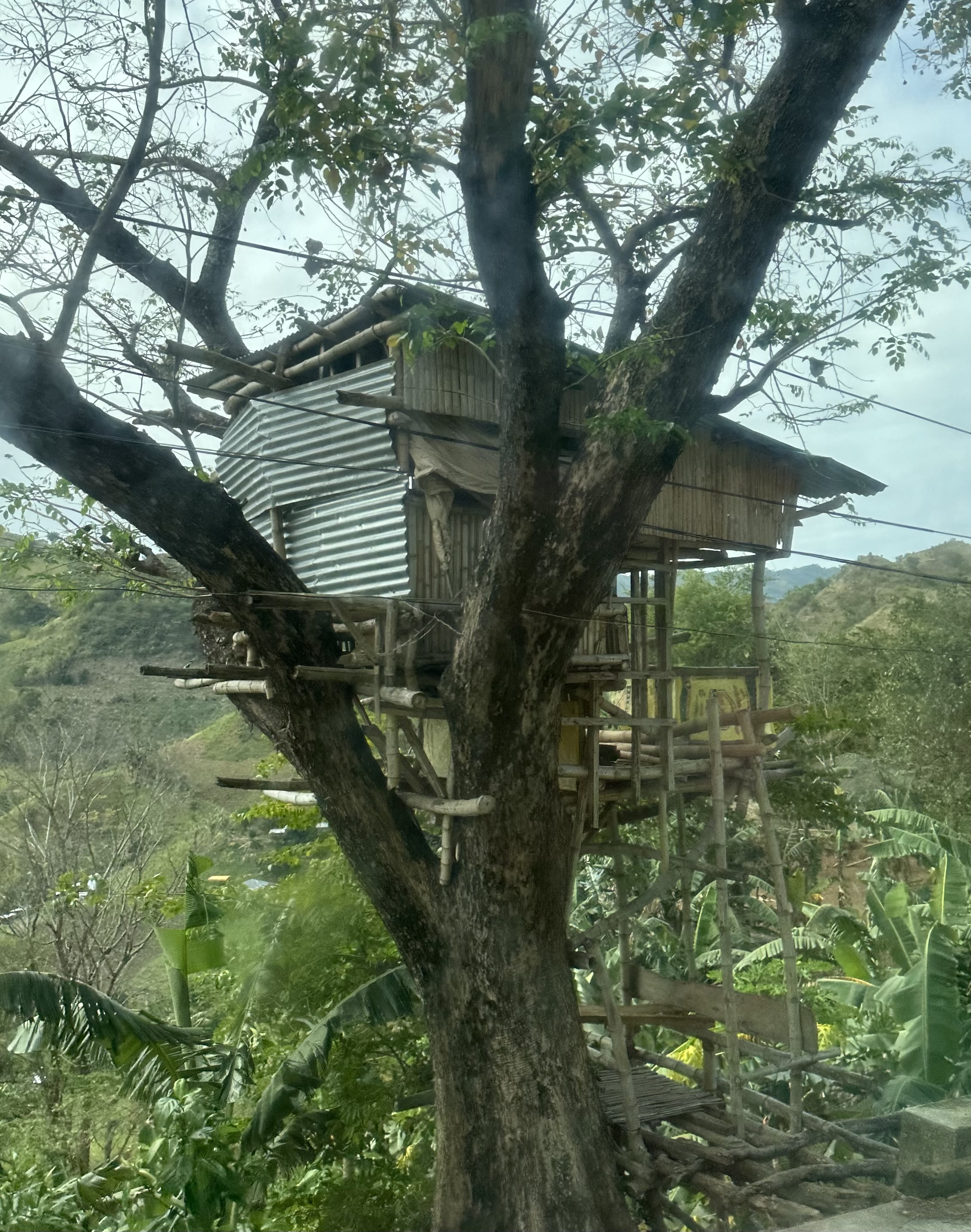
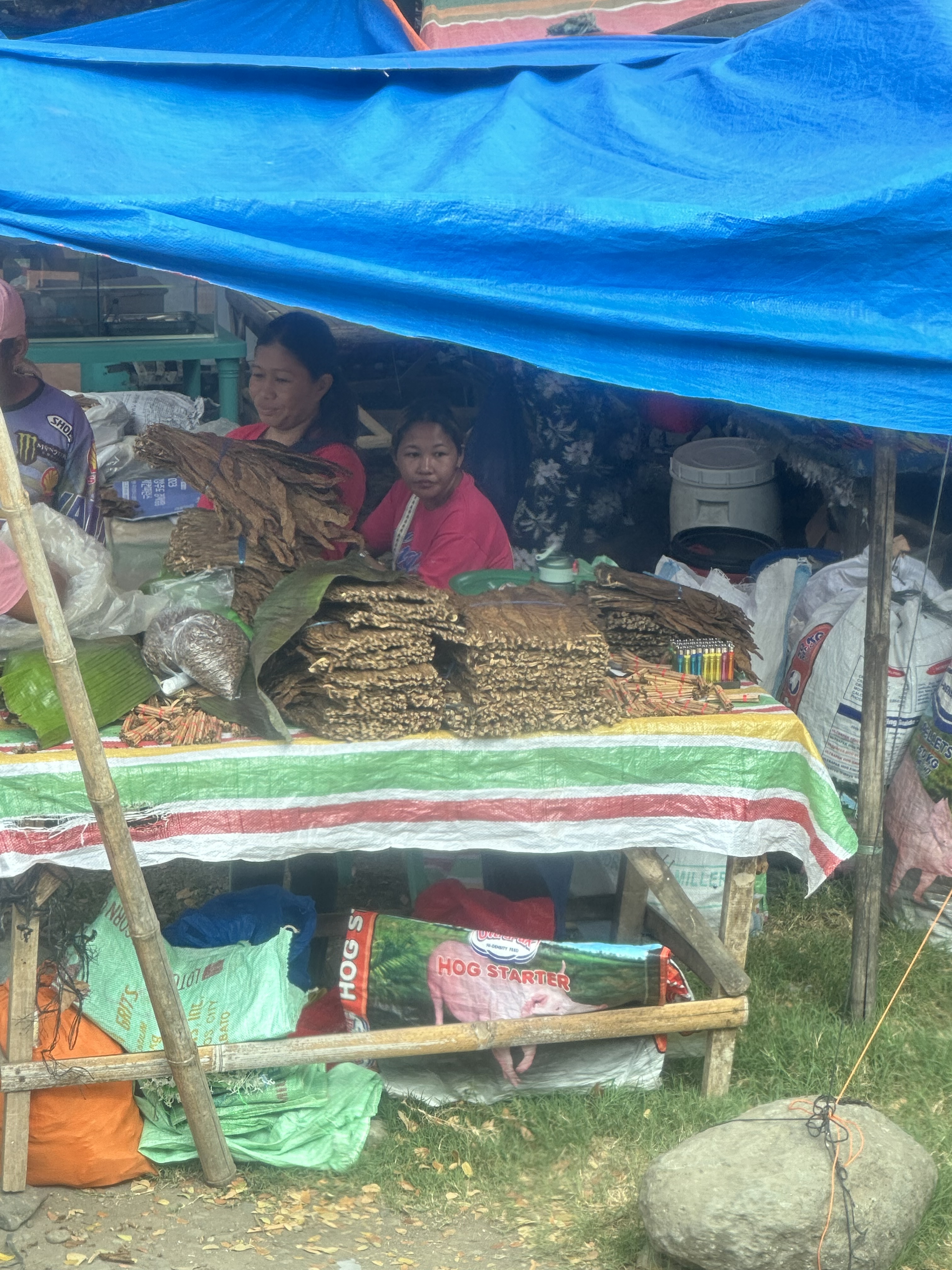
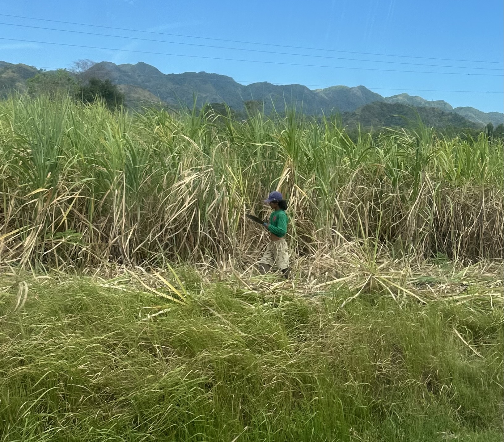
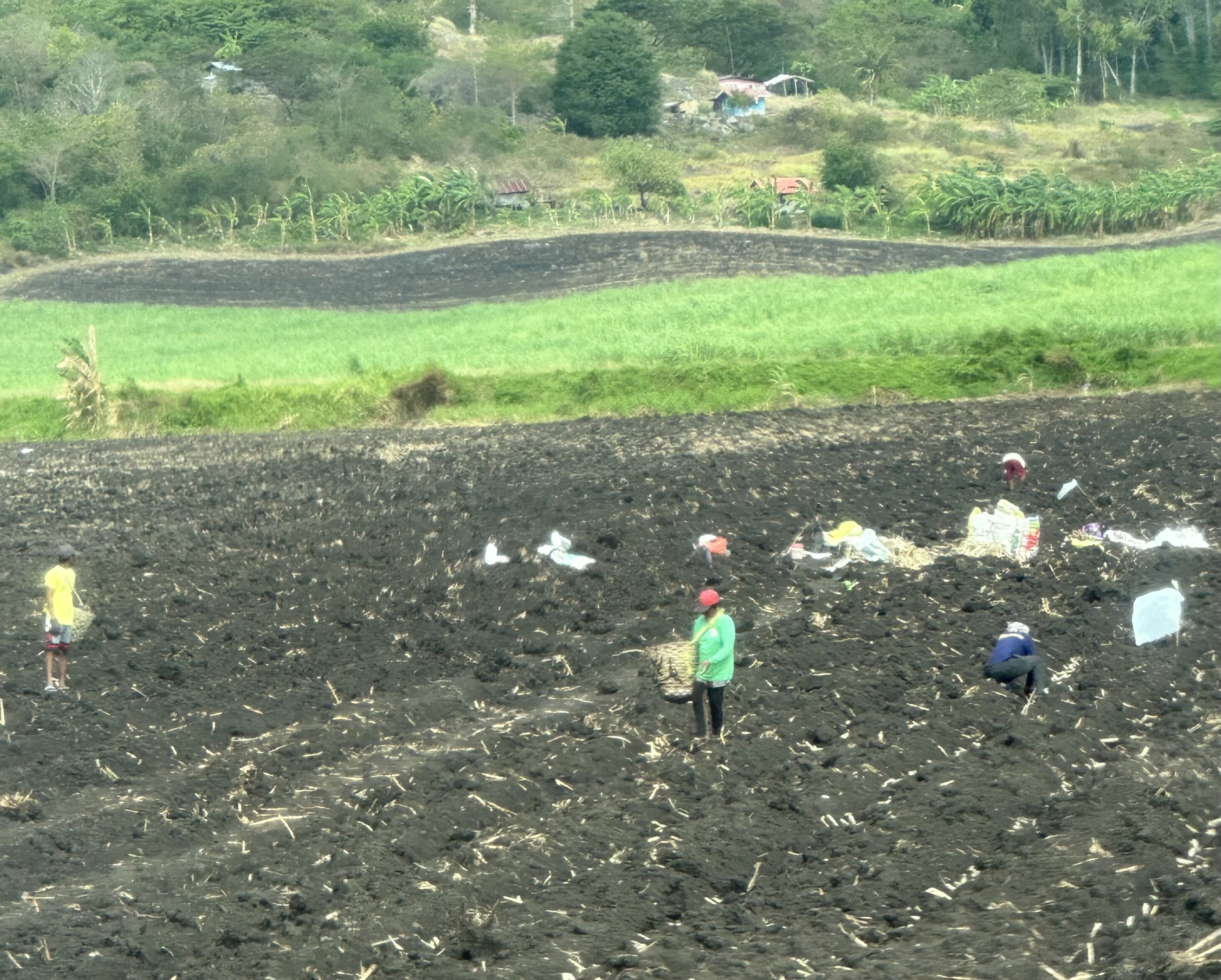
Travel days are tiring, but we approach them as another chance for a different experience: people and countryside glimpsed from the window of a bus. I have culled over 200 photos that Lina took on our trip from La Carlota in Negros Occidental to the port of San Carlos; across the strait to Toledo on the west coast of the island of Cebu; and across the mountainous spine of Cebu to the east coast. We left La Carlota at 5AM on March 1 and arrived in Cebu around 3PM. All but the first and last photos are Lina’s. I show them in the order they were taken.
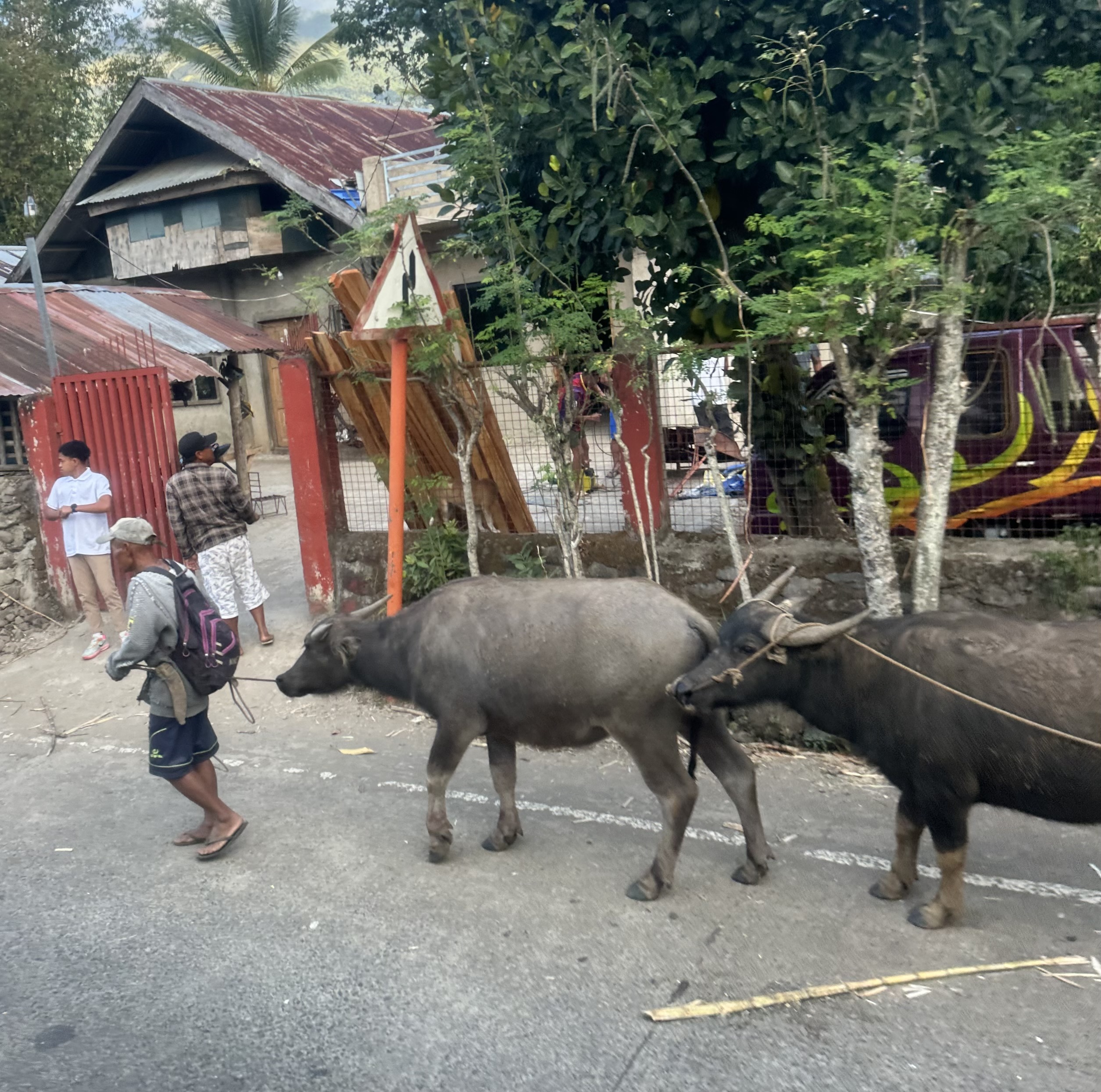
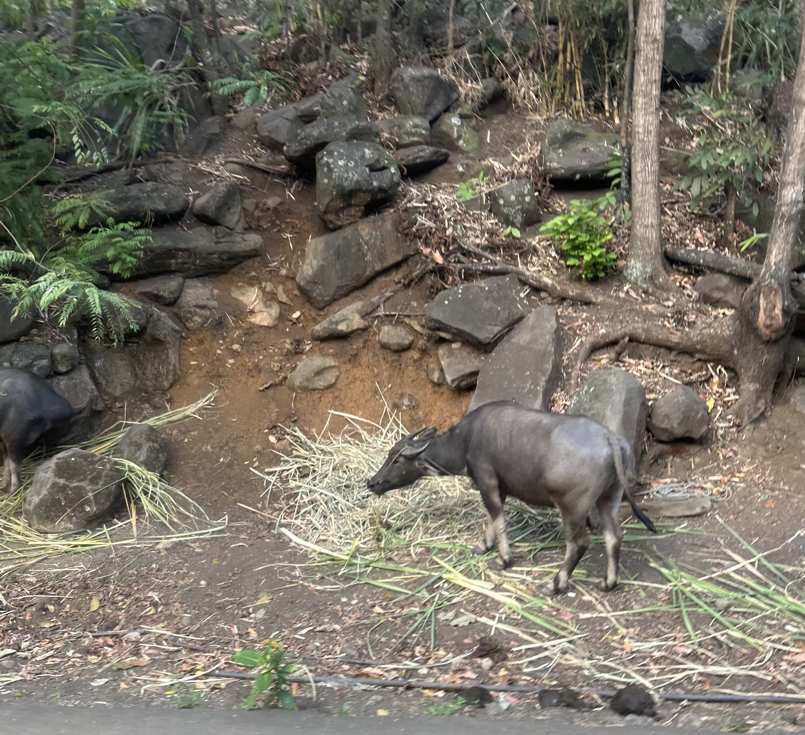
I plead guilty to including too many photos and hope I compensate for the lack of editing by minimal commentary. I invite you to imagine you’re on a bus for hours, just watching life go by, and dozing from time to time. I will not be offended if you doze.
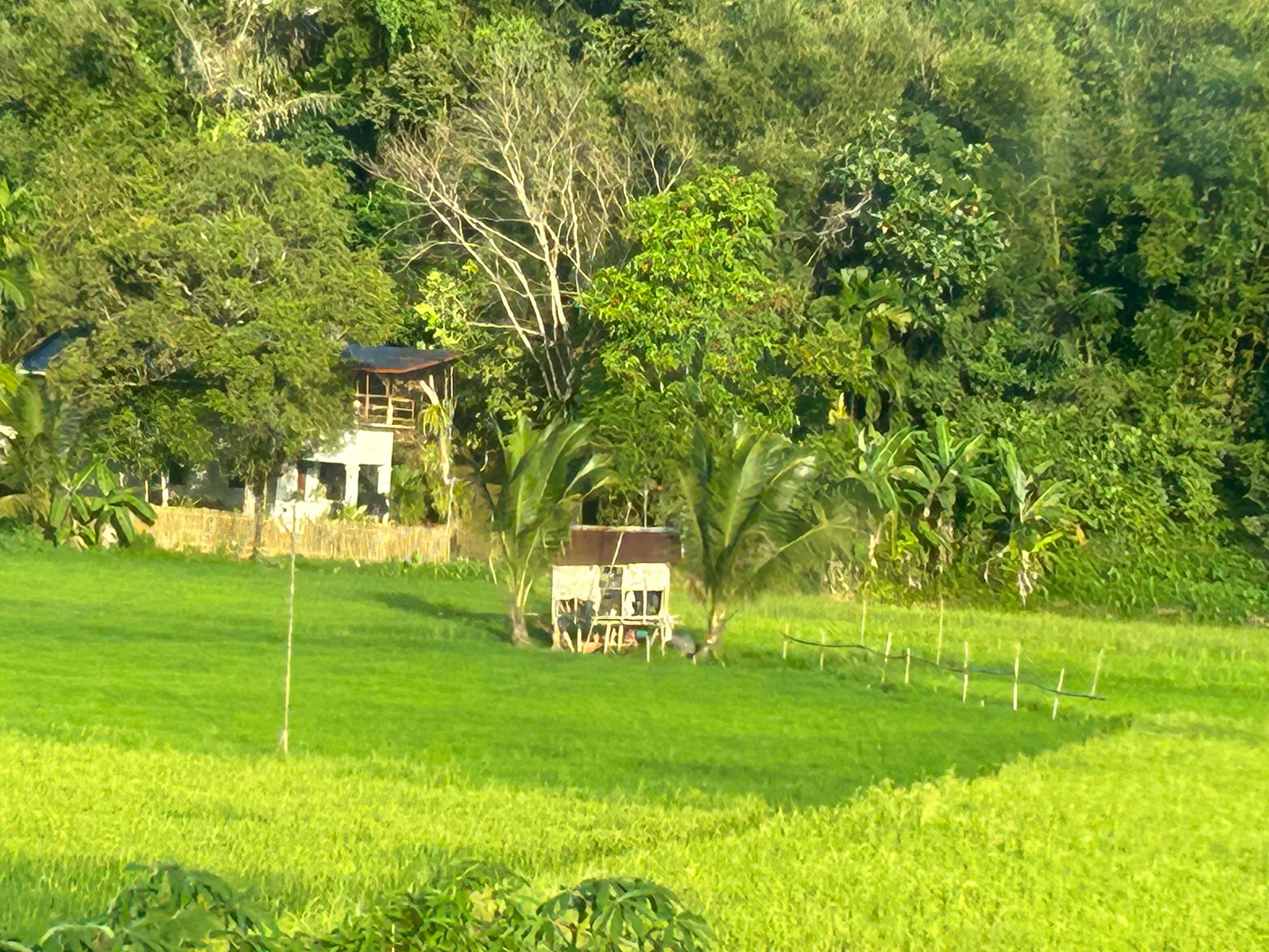
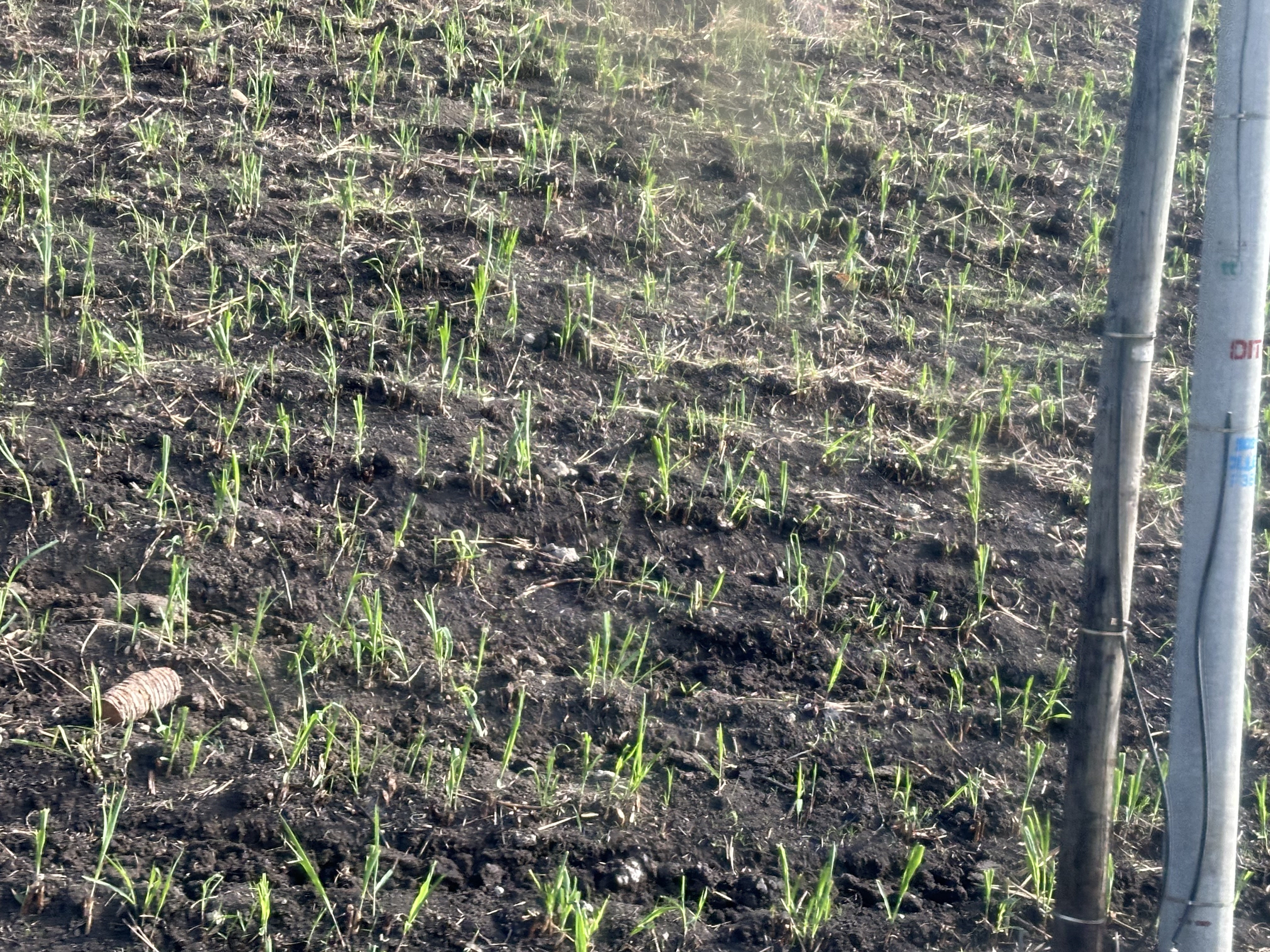
This first photo is a ringer. I took it on Monday (six days ago) on the way to Iloilo City from Tablas (an even longer travel day!). It illustrates the surprises that await around a corner: in this case, the view of lush green paddy in a small irrigated valley. Most of the rice paddies we have passed along roads in the Philippines are brown and dry, waiting for the rainy season to grow one crop of rice, but there are exceptions. The taller rice is beginning to turn yellow as it nears harvest, while the younger rice is the green I associate with Ireland.
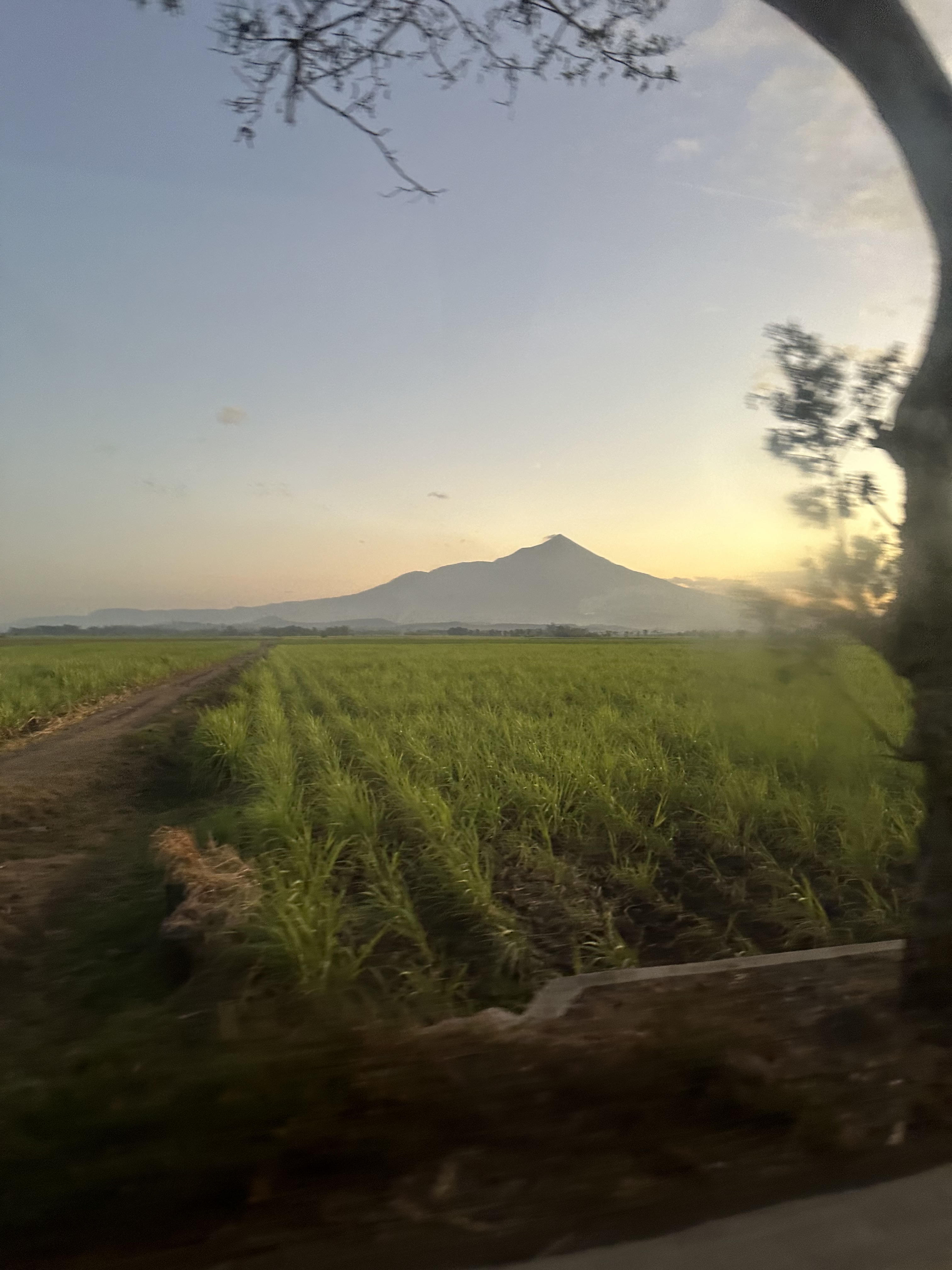
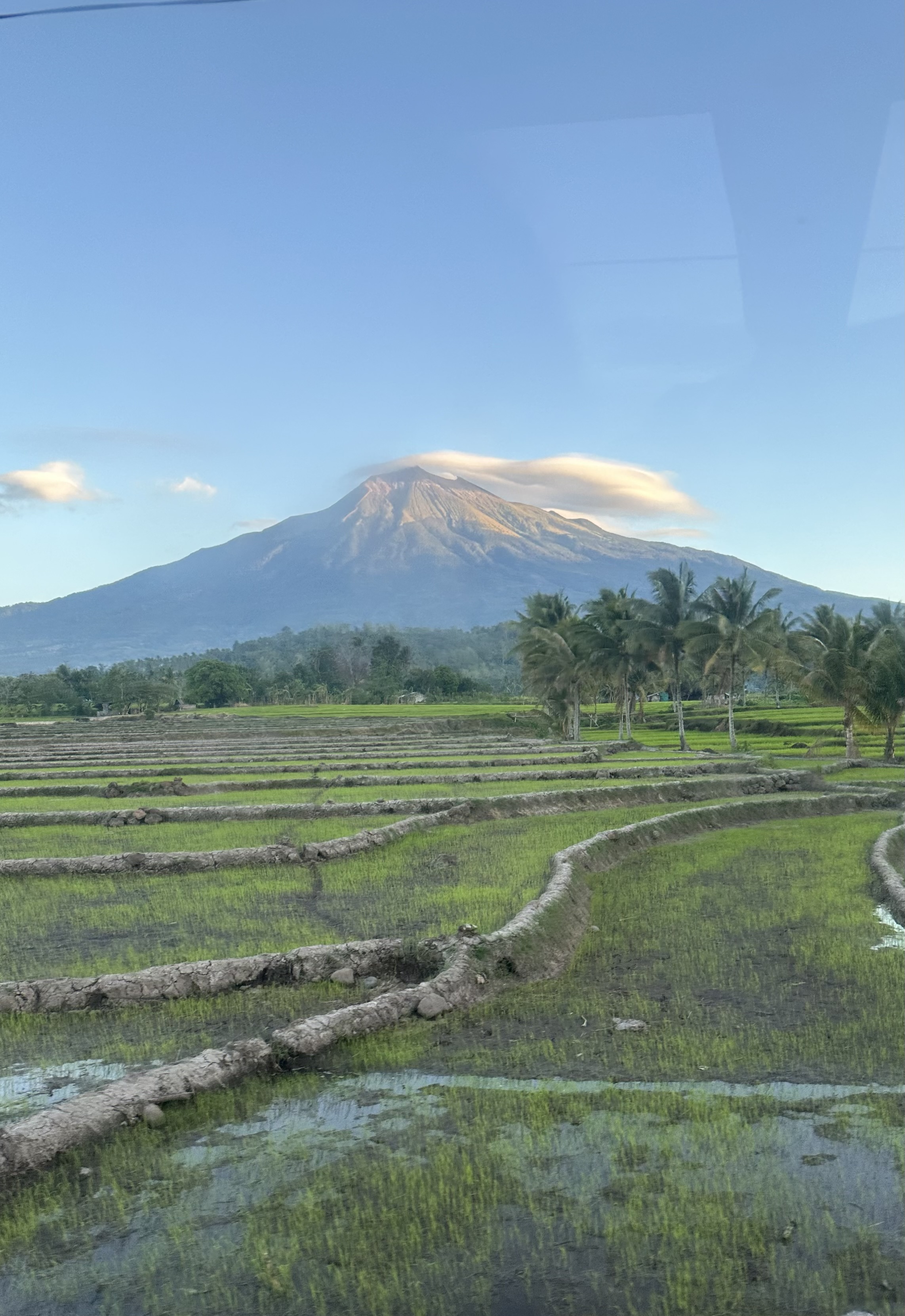
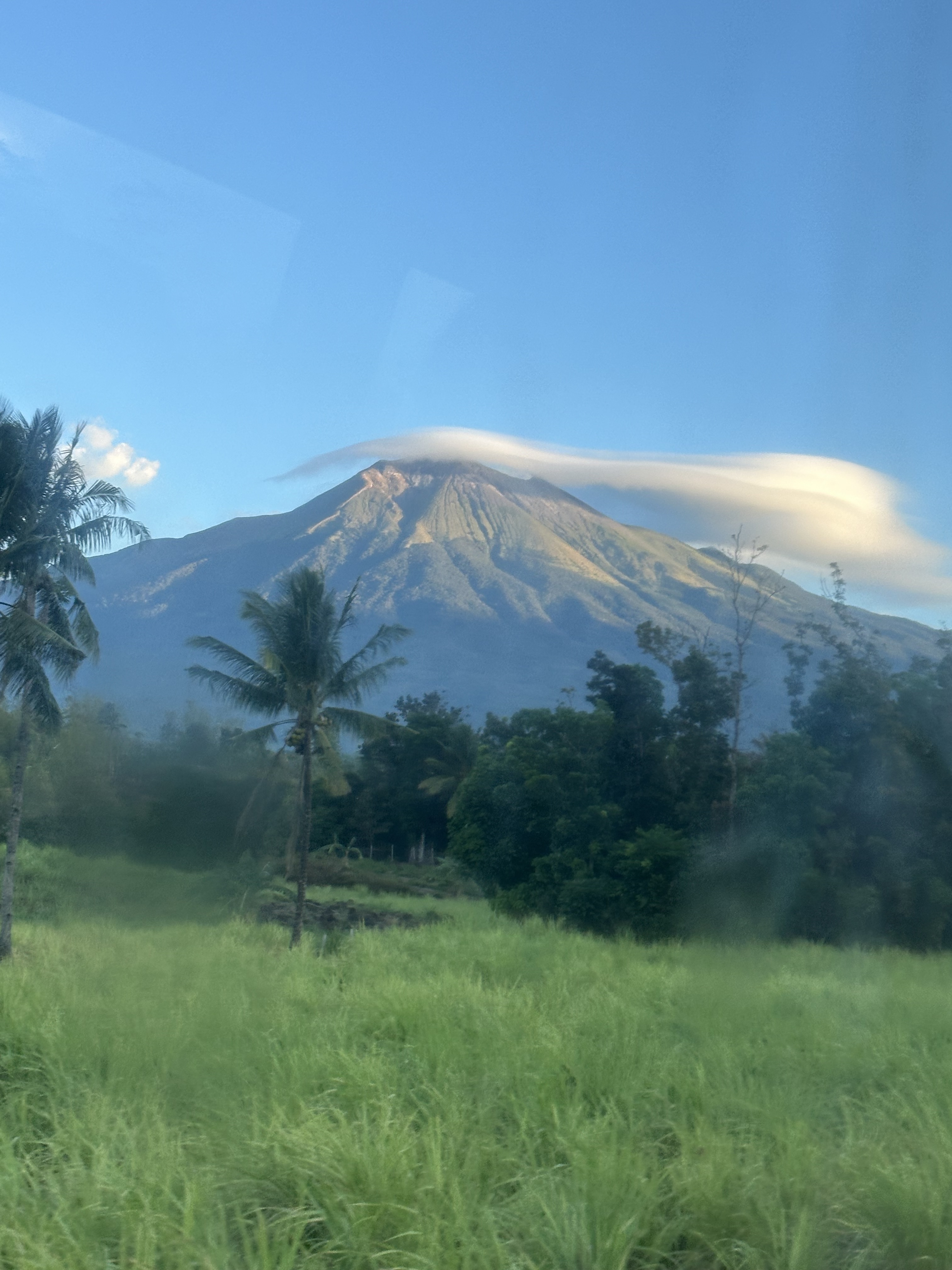
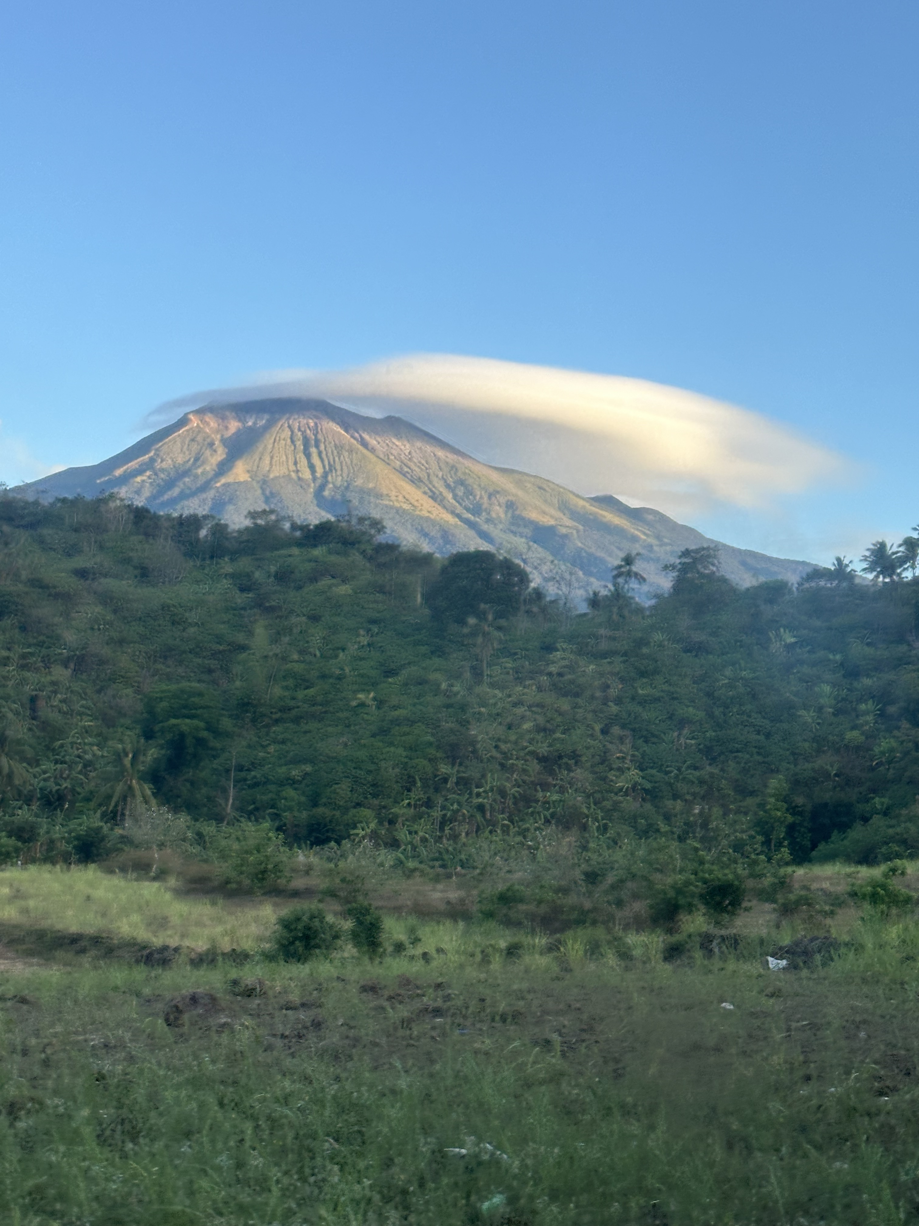
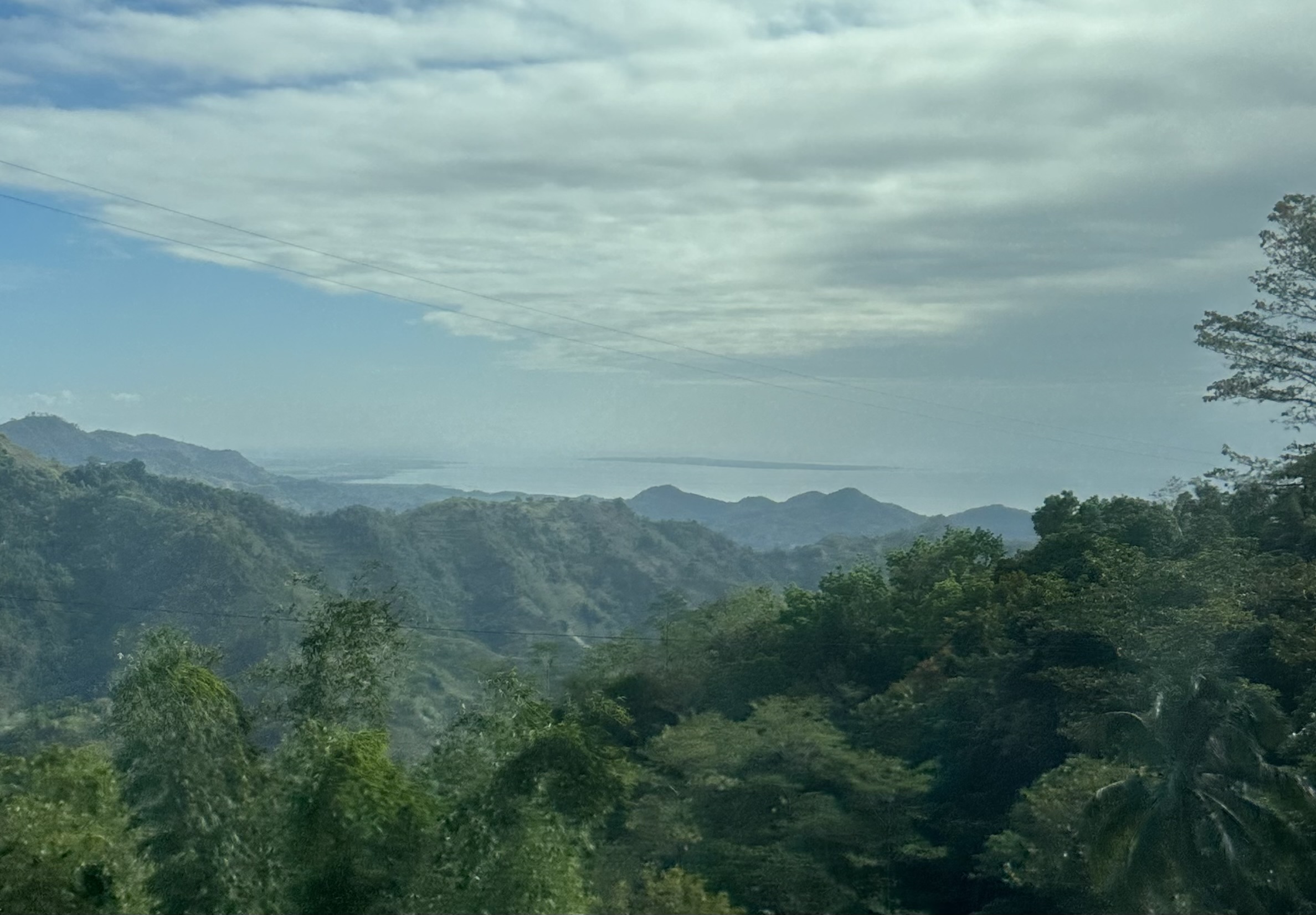
Mt. Canlaon is a dormant volcano 8,087′ at its highest. It looms over the island of Negros, and here we see it at 5:48AM over huge fields of sugar cane.
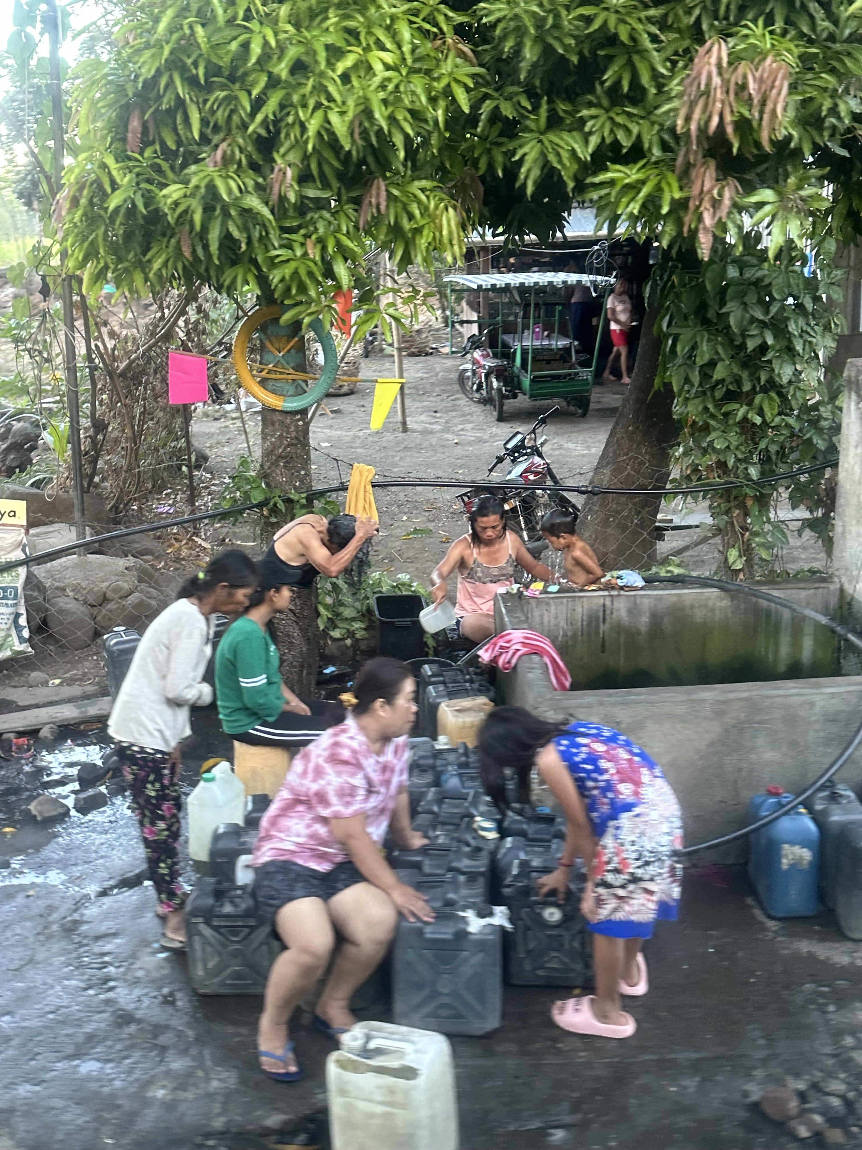


A delightful little girl entertained us by singing nursery school songs: “The wheels on the bus go round and round …. ” But it’s now 1:20PM and she has fallen asleep. We’ve almost reached Cebu City.

I’ve written about Canlaon before, in January, 2015. I put its elevation at 7,989′ then, but my map now says 8,087′. I doubt the mountain has become taller in nine years. It’s more likely I made a mistake.
